Schakel je adblocker uit om alles te bekijken en ons te helpen deze site gratis te houden.
Bedankt voor je steun!
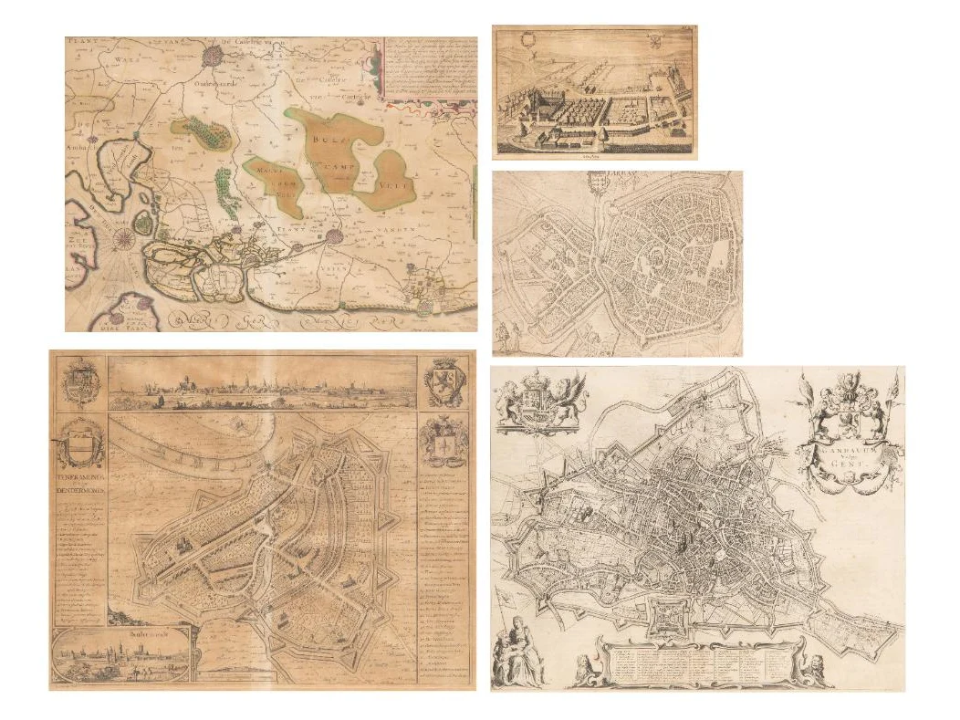
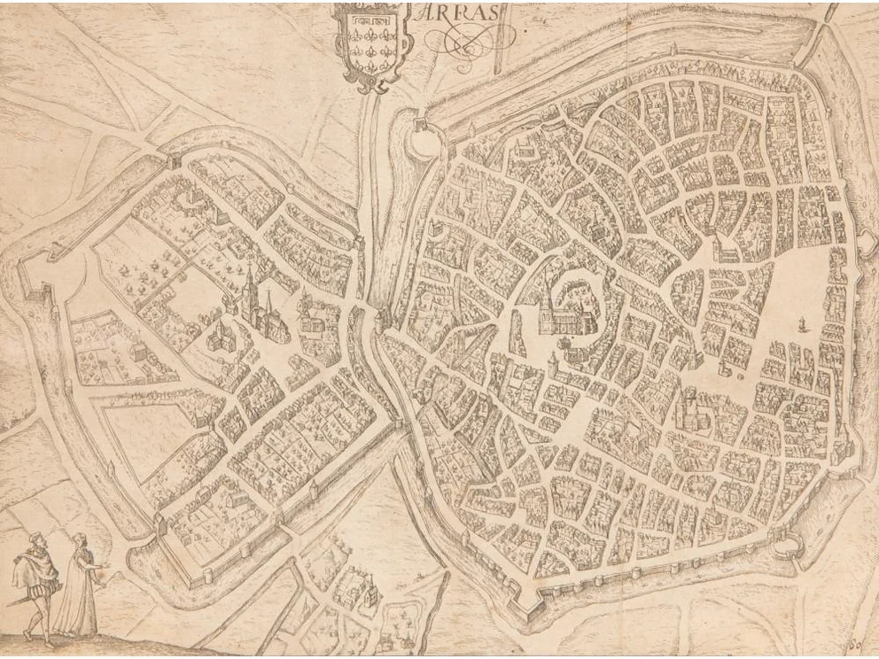

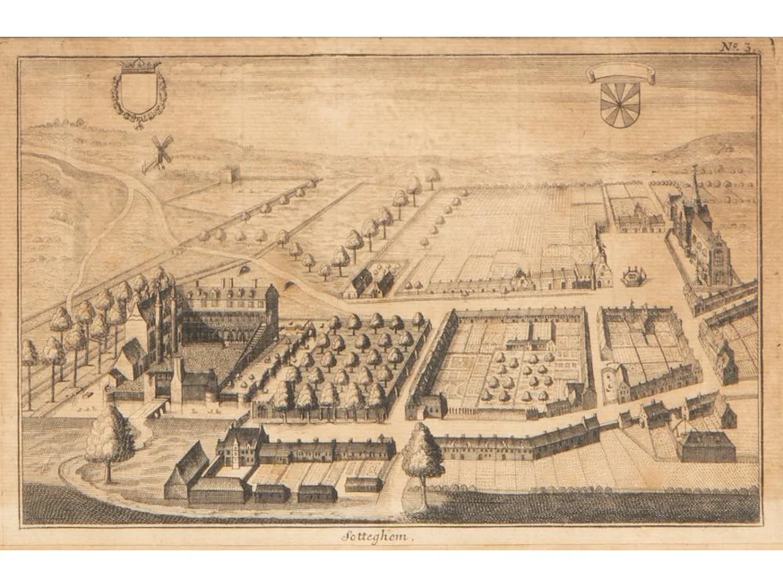
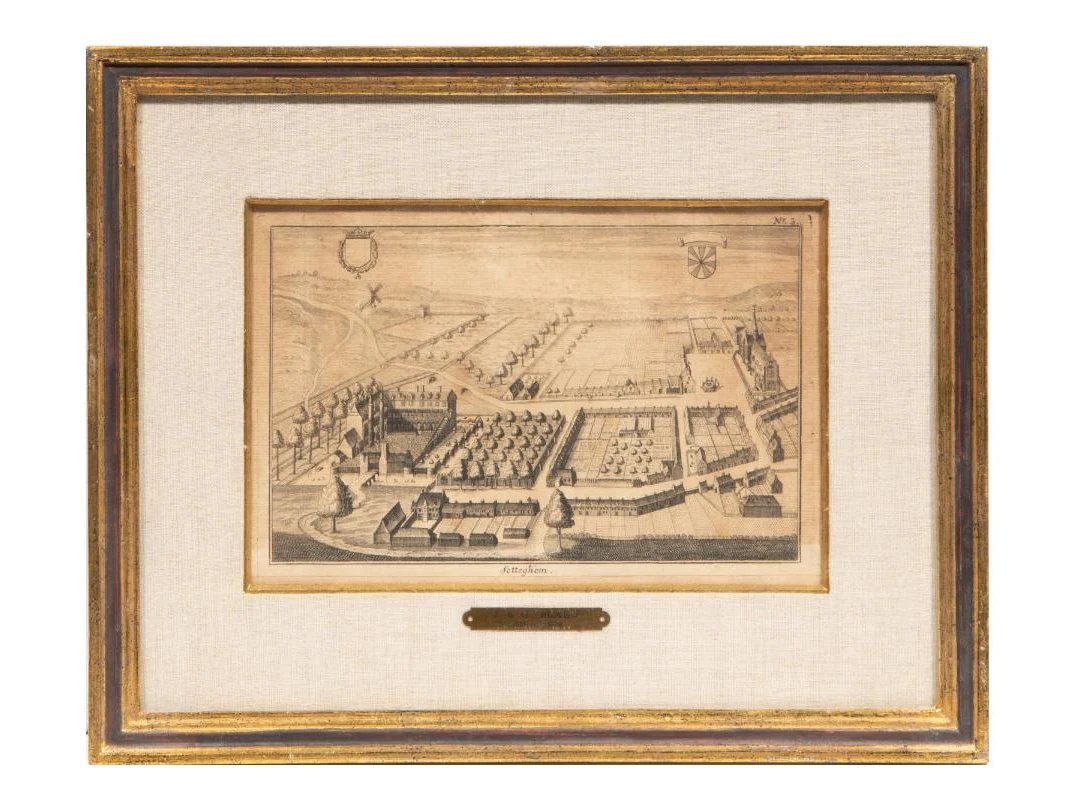
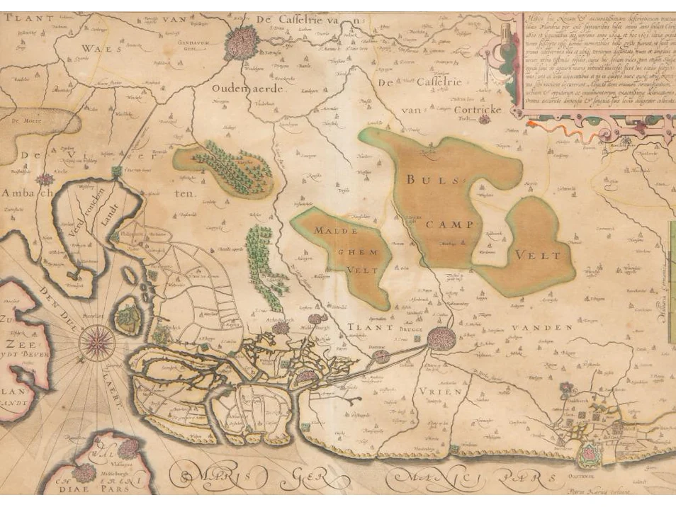
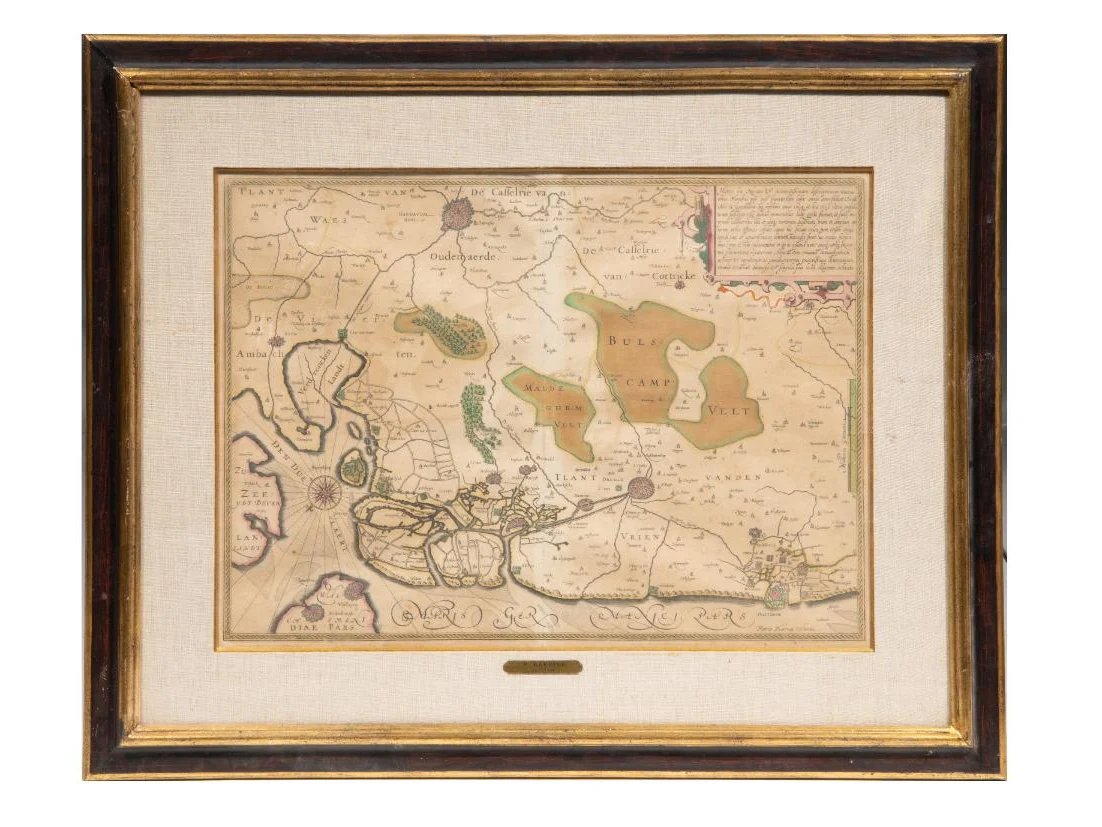
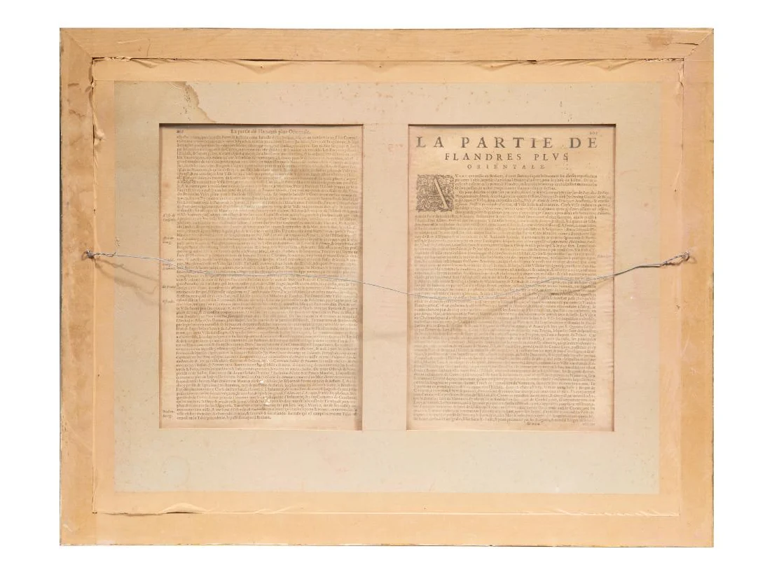
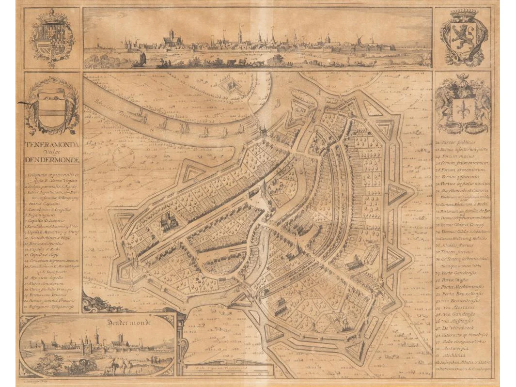
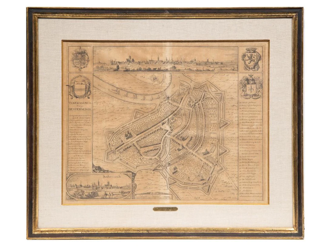
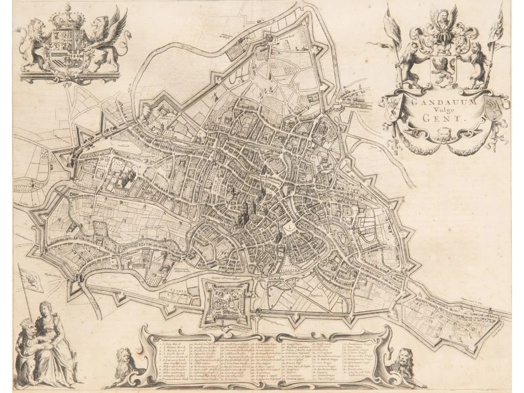
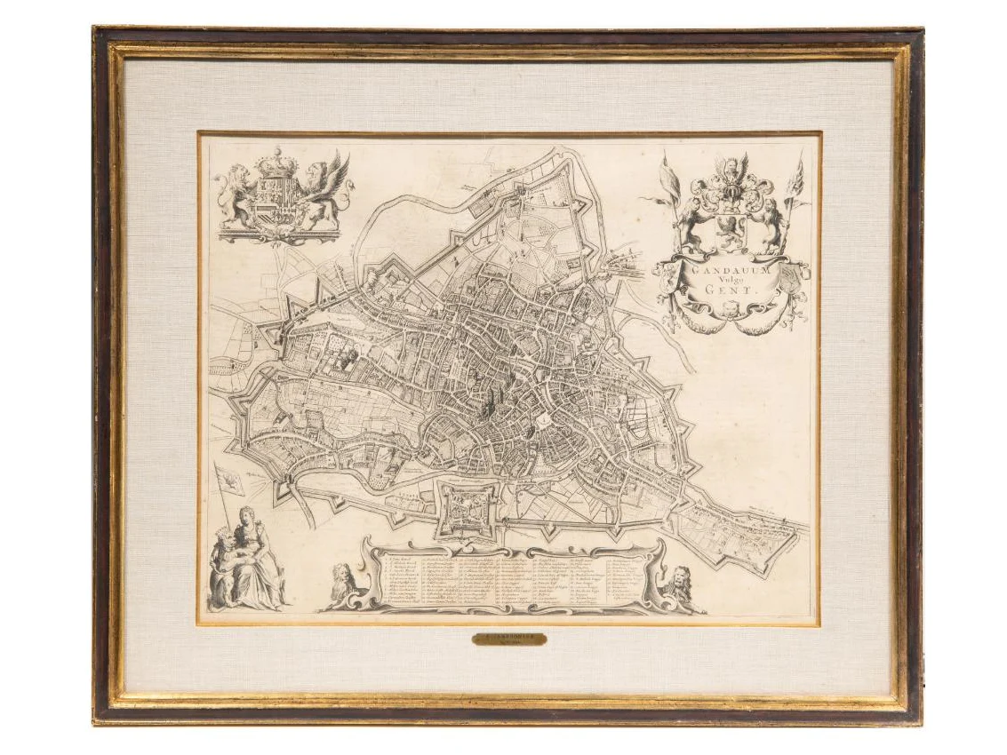
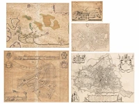
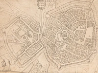
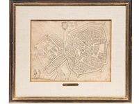
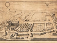
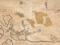
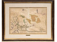
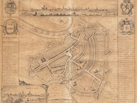
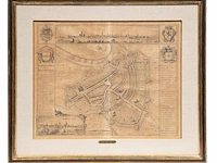
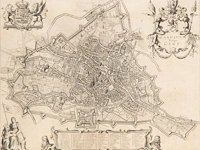
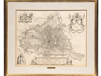
- Map of Flanders by Petrus Kaerius, printed by H. Hondius in Amsterdam, 1630, hand-coloured, 37 x 51,5 cm - Map of Dendermonde by Antonius Sanderus, from the Flandria Illustrata. Amsterdam, 1641-44, 41,5 x 52,5 cm - Map of Ghent by Johannes Janssonius from the Stedenboeck, 1657, 40,5 x 51.5 cm - Map of Arras by Lodovico Guicciardini from the 'Descrittione di tutti i Paesi Bassi', 1613, 23,5 x 31,5 cm - Map of Zottegem by Sanderus , published by Joan and Gerard Blaeu in the Stedenboeck, 16 x 24,5 cm

 Alleveilingen.nl